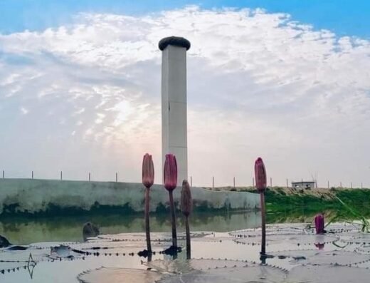
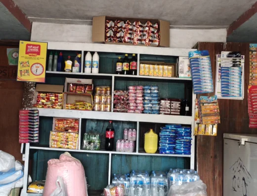
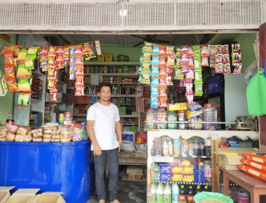
Jhapa is the easternmost district of Nepal and lies in the fertile Terai plains. It is part of the Outer Terai. Jhapa borders with Illam in the north, Morang in the west, the Indian state of Bihar in the southand West Bangal to the southeast and east. Geographically, it covers an area of 1,606 km2 (620 sq mi) and lies on 87°39’ east to 88°12’ east longitude and 26°20’ north to 26°50’ north latitude.
Copyright © 2022-2023, nepalish.com | All Rights Reserved | Powered By: Surabi Infosys


